Category:Maps of Europe in 1789
Media in category "Maps of Europe in 1789"
The following 19 files are in this category, out of 19 total.
-
 Atlantic Revolutions.png 2,000 × 2,027; 472 KB
-
 Austrian Lombardy 1789.svg 450 × 456; 800 KB
-
 Duchy of Parma and Piacenza 1789.svg 450 × 456; 929 KB
-
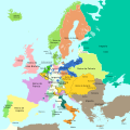 Europa 1789-es.svg 1,357 × 1,357; 1,003 KB
-
 Europa 1789.svg 1,357 × 1,357; 674 KB
-
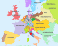 Europe 1789 ukr.png 1,744 × 1,394; 386 KB
-
 Europe 1789.svg 450 × 456; 929 KB
-
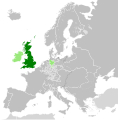 Great Britain 1789.svg 450 × 456; 848 KB
-
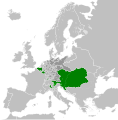 Habsburg Monarchy 1789.svg 450 × 456; 857 KB
-
 Kingdom of France (1789).svg 450 × 456; 911 KB
-
 Kingdom of Ireland 1789.svg 450 × 456; 834 KB
-
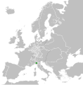
 Kingdom of Sardinia 1789.svg 450 × 456; 799 KB
-
 Map Europe in 1789- Touring Club Italiano CART-TRC-51 02.jpg 3,836 × 3,065; 1.53 MB
-
 Papal States 1789.svg 450 × 456; 799 KB
-
 Polish-Lithuanian Commonwealth 1789.svg 450 × 456; 800 KB
-
 Republic of Genoa 1789.svg 450 × 456; 799 KB
-
 Republic of Venice 1789.svg 450 × 456; 927 KB
-
 Sweden 1789.svg 450 × 456; 799 KB
-
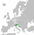
 Venice, France and Austria in 1789.svg 400 × 300; 868 KB


.svg)


