Category:Maps of Fairfield County, Connecticut (style A)
Media in category "Maps of Fairfield County, Connecticut (style A)"
The following 16 files are in this category, out of 16 total.
-
 Bridgeport CT lg.PNG 1,824 × 1,374; 109 KB
-
 Brookfield CT lg.PNG 1,824 × 1,374; 109 KB
-
 Danbury CT lg.PNG 1,824 × 1,374; 109 KB
-
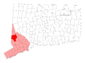
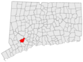
 Map of Fairfield County, Connecticut Bridgeport Highlighted.PNG 323 × 429; 9 KB
-
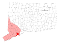
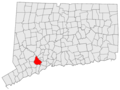
 Map of Fairfield County, Connecticut Darien Highlighted.png 323 × 429; 9 KB
-
 New Fairfield CT lg.PNG 1,824 × 1,374; 109 KB
-
 Norwalk CT lg.PNG 1,824 × 1,374; 109 KB
-
 Shelton CT lg.PNG 1,824 × 1,374; 110 KB
-
 US-CT-Danbury.png 450 × 336; 54 KB
-
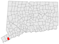 US-CT-Darien.png 450 × 336; 54 KB
-
 US-CT-Fairfield.png 450 × 336; 54 KB
-
 US-CT-Greenwich.png 450 × 336; 54 KB
-
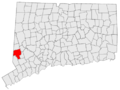
 US-CT-Monroe.png 450 × 336; 54 KB
-
 US-CT-Shelton.png 450 × 336; 54 KB
-
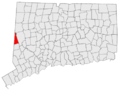 US-CT-Sherman.png 450 × 336; 54 KB
-
 Weston CT lg.PNG 1,824 × 1,374; 109 KB


