Category:Maps of Kayes Region
Media in category "Maps of Kayes Region"
The following 19 files are in this category, out of 19 total.
-
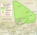 Azawad Tuareg rebellion 2012 - 2.svg 1,315 × 1,254; 719 KB
-
 Cercle Bafoulabé.PNG 1,025 × 595; 19 KB
-
 Cercle Diéma.PNG 1,025 × 595; 19 KB
-
 Cercle Kayes.PNG 1,025 × 595; 19 KB
-
 Cercle Kita.PNG 1,025 × 595; 19 KB
-
 Cercle Kéniéba.PNG 1,025 × 595; 19 KB
-
 Cercle Nioro.PNG 1,025 × 595; 19 KB
-
 Cercle of Nioro du Sahel.png 1,070 × 998; 26 KB
-
 Cercle Yélimané.PNG 1,025 × 595; 19 KB
-
 Kayes cercles-ar.png 1,056 × 816; 54 KB
-
 Kayes cercles.png 1,056 × 816; 33 KB
-
 Mali regions map.png 2,108 × 2,000; 650 KB
-
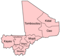 Mali regions named.png 500 × 468; 12 KB
-
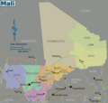
 Mali Regions-ar.png 449 × 443; 21 KB
-
 Mali Regions.png 449 × 443; 14 KB
-
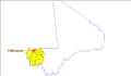
 Mali-Kayes.png 200 × 187; 4 KB
-
 MINUSMA- Deployment Map (June 2017).pdf 1,650 × 1,275; 528 KB
-
 Regions of Mali 2016 (2)-ar.png 1,070 × 998; 69 KB
-
 Région kayes.PNG 863 × 595; 22 KB


-ar.png)
