Category:Maps of Linars (Charente)
Media in category "Maps of Linars (Charente)"
The following 5 files are in this category, out of 5 total.
-
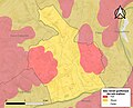 16187-Linars-argile.jpg 3,057 × 2,480; 624 KB
-
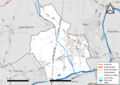 16187-Linars-Routes-Hydro.png 3,507 × 2,480; 2.78 MB
-
 16187-Linars-Routes-Hydro.svg 1,056 × 744; 4.79 MB
-
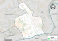 16187-Linars-ZNIEFF1.png 5,866 × 4,133; 7.69 MB
-
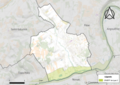 16187-Linars-ZNIEFF2.png 5,866 × 4,133; 7.76 MB


