Category:Maps of Maray (Loir-et-Cher)
Subcategories
This category has only the following subcategory.
A
- Administrative maps of Maray (3 F)
Media in category "Maps of Maray (Loir-et-Cher)"
The following 5 files are in this category, out of 5 total.
-
 41122-Maray-Cours eau.png 3,507 × 2,480; 1.03 MB
-
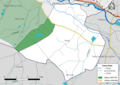 41122-Maray-Natura2000-ZPS.png 3,507 × 2,480; 1.32 MB
-
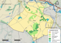 41122-Maray-Sols.png 7,015 × 4,960; 4.08 MB
-
 41122-Maray-Zone inondable.png 3,507 × 2,480; 1.06 MB
-
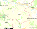 Map commune FR insee code 41122.png 756 × 605; 63 KB


