Category:Maps of Myanmar conflict
Media in category "Maps of Myanmar conflict"
The following 17 files are in this category, out of 17 total.
-
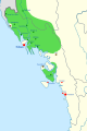 2024 Arakan Army offensive in Rakhine.svg 400 × 600; 179 KB
-
 Armed conflict zones in Myanmar.png 1,324 × 2,938; 258 KB
-
 Battle of Lashio (July - August 2024).svg 2,644 × 2,648; 8.69 MB
-
Battle of Lashio Every Day Map Montage.webm 1 min 58 s, 1,920 × 1,080; 153.03 MB
-
 Burma1948.png 1,194 × 1,092; 246 KB
-
 Burma1953.png 1,124 × 1,364; 301 KB
-
 Burma1966.png 448 × 839; 155 KB
-
 Burma1989.png 1,178 × 2,228; 609 KB
-
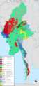
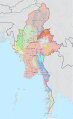
 Internal conflict in Myanmar.svg 1,228 × 2,003; 1.08 MB
-
 LashioBattle.svg 833 × 788; 10.52 MB
-
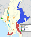
 Military situation in Myanmar, December 2023.png 3,000 × 6,447; 2.18 MB
-
 Military situation in Myanmar, February 2022.png 3,000 × 6,447; 2.17 MB
-
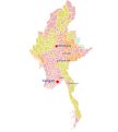 Myanmar civil war (2021–present) townships map.svg 1,052 × 1,169; 3.34 MB
-
 Myanmar civil war simplified.svg 1,228 × 2,003; 1.67 MB
-
 Myanmar civil war.svg 1,228 × 2,003; 1.37 MB
-
 Operation 1027 Phase 1.svg 500 × 376; 1.64 MB
-
 Operation 1027.svg 983 × 1,124; 1.38 MB


.svg)


_townships_map.svg)


