Category:Maps of Norman England
Subcategories
This category has only the following subcategory.
Media in category "Maps of Norman England"
The following 12 files are in this category, out of 12 total.
-
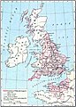 Williams dominions 1087.jpg 1,062 × 1,486; 1.92 MB
-
 Angleterre 1087.png 400 × 458; 89 KB
-
 Anlo-Norman Kingdom es.png 312 × 468; 33 KB
-
 Anlo-Norman Kingdom.png 312 × 468; 24 KB
-
 Den normanniske erobring 1066.svg 600 × 600; 123 KB
-
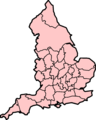 EnglandDomesdayCounties.png 480 × 600; 94 KB
-
 Map of England 1086.png 2,398 × 3,000; 1.43 MB
-
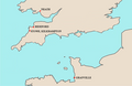 MapGrenvilleSeats.PNG 800 × 522; 174 KB
-
 Public School History of England and Canada 016.jpg 6,224 × 4,496; 3.03 MB
-
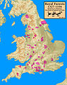
 Royal.Forests.1327.1336.annotated.jpg 2,324 × 2,931; 875 KB
-
 Royal.Forests.1327.1336.notannotated.jpg 2,324 × 2,931; 856 KB
-
 Royal.Forests.1327.1336.selected.jpg 2,324 × 2,931; 917 KB


