Category:Maps of Thunder Bay
Media in category "Maps of Thunder Bay"
The following 9 files are in this category, out of 9 total.
-
 Harbour Expressway Location Map.svg 1,000 × 700; 189 KB
-
 Map of Thunder Bay.svg 2,000 × 2,200; 671 KB
-
 Plan of Mr. Dawson’s Road from Thunder Bay to Lake Shebandowan (1871).jpg 1,024 × 763; 240 KB
-
 Railway Connections around Fort William 1913.jpg 2,204 × 1,788; 1.59 MB
-
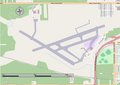 Thunder Bay Airport.png 941 × 667; 130 KB
-
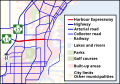
 Thunder Bay Expressway Location Map.svg 900 × 1,300; 294 KB
-
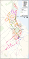 Thunder Bay Transit Map.svg 1,000 × 2,000; 601 KB
-
 Thunder Bay ward map.png 556 × 573; 33 KB
-
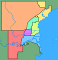
 Thunder Bay ward map.svg 2,000 × 2,200; 414 KB


.jpg)


