Category:Maps of arable land in Indre-et-Loire
Subcategories
This category has only the following subcategory.
Media in category "Maps of arable land in Indre-et-Loire"
The following 4 files are in this category, out of 4 total.
-
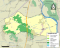 37005-Antogny-le-Tillac-Sols.png 3,270 × 2,598; 1.66 MB
-
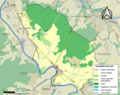
 37016-Azay-sur-Indre-Sols.png 3,270 × 2,598; 1.78 MB
-
 37019-Barrou-Sols.png 3,270 × 2,598; 2.29 MB
-
 37240-Saunay-Sols.png 3,270 × 2,598; 2.59 MB


