Category:Maps of beltways in Germany
Countries of Europe: Belgium · Czech Republic · France‡ · Germany · Italy · Netherlands‡ · Poland · Russia‡ · United Kingdom
‡: partly located in Europe
‡: partly located in Europe
Media in category "Maps of beltways in Germany"
The following 12 files are in this category, out of 12 total.
-
 Bundesautobahn 99 map.png 1,122 × 1,515; 75 KB
-
 Autobahnring Bochum.jpg 800 × 495; 64 KB
-
 BraunschweigerRing.png 1,148 × 855; 1.74 MB
-
 Bundesautobahn 99 map 2006.png 1,122 × 1,515; 142 KB
-
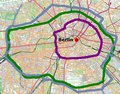 Innenstadtring-berlin.png 633 × 497; 593 KB
-
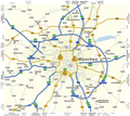 Karte Fernstraßen München.png 2,473 × 2,211; 643 KB
-
 Karte Mainzer Ring.svg 1,033 × 996; 2.94 MB
-
 Karte Mittlerer Ring München.png 1,499 × 1,392; 530 KB
-
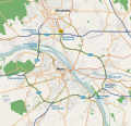
 Koelner Ring.png 1,200 × 1,200; 150 KB
-
 KVB Ringe.svg 1,000 × 1,000; 78 KB
-
 Map D A99.svg 1,073 × 1,272; 465 KB
-
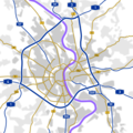
 Münchner Mittlerer Ring.png 470 × 375; 18 KB


