Category:Maps of earthquakes in Indiana
States of the United States: Alabama · Alaska · Arkansas · California · Hawaii · Idaho · Illinois · Indiana · Nevada · Oklahoma · Oregon
Northern Mariana Islands · Puerto Rico
Northern Mariana Islands · Puerto Rico
Media in category "Maps of earthquakes in Indiana"
The following 2 files are in this category, out of 2 total.
-
 1909 Wabash valley earthquake map.png 250 × 299; 56 KB
-
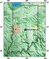
 2010 Indiana earthquake.jpg 463 × 461; 149 KB

