Category:Maps of local government areas in Newcastle
Media in category "Maps of local government areas in Newcastle"
The following 12 files are in this category, out of 12 total.
-
 Australia-Map-NSW-LGA-LakeMacquarie.png 720 × 593; 32 KB
-
 Australia-Map-NSW-LGA-Maitland.png 720 × 593; 30 KB
-
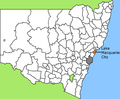
 Australia-Map-NSW-LGA-Newcastle.png 720 × 593; 31 KB
-
 Australia-Map-NSW-LGA-PortStephens.png 720 × 593; 31 KB
-
 Lake Macquarie LGA location map.svg 800 × 573; 19 KB
-
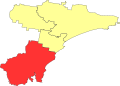
 Lake macquarie LGA NSW.png 400 × 337; 33 KB
-
 Maitland LGA location map.svg 800 × 573; 19 KB
-
 Maitland LGA NSW.png 400 × 337; 33 KB
-
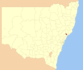
 Newcastle LGA location map.svg 800 × 573; 19 KB
-
 Newcastle LGA NSW.png 400 × 337; 33 KB
-
 Port Stephens LGA location map.svg 800 × 573; 19 KB
-
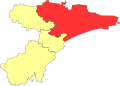
 Port stephens LGA NSW.png 400 × 337; 33 KB


