Category:Maps of municipalities in the district of See to 2016
Media in category "Maps of municipalities in the district of See to 2016"
The following 21 files are in this category, out of 21 total.
-
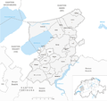 Karte Gemeinden des Bezirks See 2016.png 1,476 × 1,385; 564 KB
-
 Karte Gemeinde Barberêche 2016.png 1,476 × 1,385; 565 KB
-
 Karte Gemeinde Courgevaux 2016.png 1,476 × 1,385; 565 KB
-
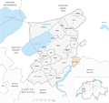
 Karte Gemeinde Courtepin 2016.png 1,476 × 1,385; 565 KB
-
 Karte Gemeinde Cressier 2016.png 1,476 × 1,385; 565 KB
-
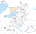
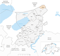 Karte Gemeinde Fräschels 2016.png 1,476 × 1,385; 565 KB
-
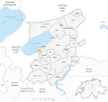
 Karte Gemeinde Galmiz 2016.png 1,476 × 1,385; 565 KB
-
 Karte Gemeinde Gempenach 2016.png 1,476 × 1,385; 564 KB
-
 Karte Gemeinde Greng 2016.png 1,476 × 1,385; 564 KB
-
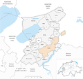 Karte Gemeinde Gurmels 2016.png 1,476 × 1,385; 567 KB
-
 Karte Gemeinde Kerzers 2016.png 1,476 × 1,385; 565 KB
-
 Karte Gemeinde Kleinbösingen 2016.png 1,476 × 1,385; 565 KB
-
 Karte Gemeinde Meyriez 2016.png 1,476 × 1,385; 564 KB
-
 Karte Gemeinde Misery-Courtion 2016.png 1,476 × 1,385; 566 KB
-
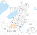
 Karte Gemeinde Mont-Vully 2016.png 1,476 × 1,385; 565 KB
-
 Karte Gemeinde Muntelier 2016.png 1,476 × 1,385; 564 KB
-
 Karte Gemeinde Murten 2016.png 1,476 × 1,385; 568 KB
-
 Karte Gemeinde Ried bei Kerzers 2016.png 1,476 × 1,385; 565 KB
-
 Karte Gemeinde Staatswald Galm 2016.png 1,476 × 1,385; 565 KB
-
 Karte Gemeinde Ulmiz 2016.png 1,476 × 1,385; 564 KB
-
 Karte Gemeinde Villarepos 2016.png 1,476 × 1,385; 565 KB


