Category:Maps of protected areas of the Region of Murcia
Autonomous communities of Spain: Andalusia · Castile and León · Community of Madrid · Region of Murcia · Autonomous cities:
Media in category "Maps of protected areas of the Region of Murcia"
The following 15 files are in this category, out of 15 total.
-
 Mapa localizacion ajauque.png 571 × 600; 46 KB
-
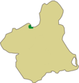
 Mapa localizacion barrancos gebas.png 571 × 600; 36 KB
-
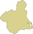 Mapa localizacion cabezo gordo.png 571 × 600; 36 KB
-
 Mapa localizacion cabo cope.png 571 × 600; 36 KB
-
 Mapa localizacion calblanque.png 571 × 600; 37 KB
-
 Mapa localizacion cañaverosa.png 571 × 600; 32 KB
-
 Mapa localizacion cañon almadenes.png 571 × 600; 38 KB
-
 Mapa localizacion cuatro calas.png 571 × 600; 35 KB
-
 Mapa localizacion islas mar menor.png 571 × 600; 36 KB
-
 Mapa localizacion sierra carche.png 580 × 600; 33 KB
-
 Mapa localizacion sierra de la pila region murcia.png 571 × 600; 36 KB
-
 Mapa localizacion sierra moreras.png 571 × 600; 36 KB
-
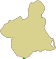
 Mapa localización cabo tiñoso.png 571 × 600; 43 KB
-
 Mapa sierra espuna.svg 800 × 840; 10 KB
-
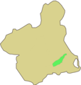 Mapa situacion valle carrascoy.png 571 × 600; 38 KB


