Category:Maps of the Adal Sultanate
Media in category "Maps of the Adal Sultanate"
The following 14 files are in this category, out of 14 total.
-
 Adal Kingdom.png 1,153 × 1,166; 92 KB
-
 Adal sultanate during the conquest of habesh.jpg 3,507 × 3,420; 819 KB
-
 Adal Sultanate.png 379 × 245; 9 KB
-
 AdalMapbymeFixed.png 554 × 540; 88 KB
-
 Ajuuraan & Adal map.png 479 × 599; 69 KB
-
 CarteAdalUP.png 379 × 245; 17 KB
-
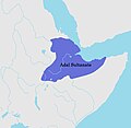
 Location of Adal Sultanate.png 1,996 × 1,618; 158 KB
-
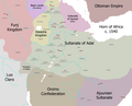 Map of Ethiopia circa 1540.png 1,638 × 1,328; 276 KB
-
 Map of the Adal Sultanate (1540).svg 772 × 705; 807 KB
-
 Map of the Adal Sultanate at its peak.jpg 1,080 × 1,177; 136 KB
-
 Map of the Adalites Empire.png 554 × 540; 88 KB
-
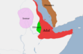
 Map of Zeila and Adal in the Horn of Africa.jpg 661 × 627; 158 KB
-
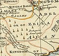
 MapEmirateAdal.jpg 332 × 372; 27 KB
-
 The Adal Sultanate.png 3,535 × 3,447; 822 KB


.svg)


