Category:Maps of the Arequipa Region
Subcategories
This category has the following 7 subcategories, out of 7 total.
L
M
P
S
Media in category "Maps of the Arequipa Region"
The following 16 files are in this category, out of 16 total.
-
 Arequipa Provincias.png 844 × 543; 64 KB
-
 Chachani, Peru ESA413331.png 4,335 × 3,120; 68.71 MB
-
 División política del Departamento de Arequipa.png 804 × 570; 288 KB
-
 Flag Map of Arequipa.png 4,481 × 2,889; 1.31 MB
-
 Flag map of provinces of Arequipa.png 4,481 × 2,889; 3.64 MB
-
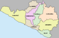
 Map-Provinces of Arequipa region.PNG 429 × 277; 8 KB
-
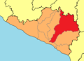
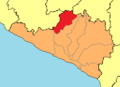
 PROV AREQUIPA.png 384 × 278; 6 KB
-
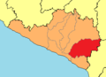
 PROV CAMANA.png 384 × 278; 6 KB
-
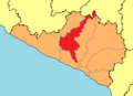
 PROV CARAVELI.png 384 × 278; 6 KB
-
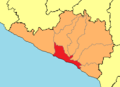
 PROV CASTILLA.png 384 × 278; 6 KB
-
 PROV CAYLLOMA.png 384 × 278; 6 KB
-
 PROV CONDESUYOS.png 384 × 278; 6 KB
-
 PROV ISLAY.png 384 × 278; 6 KB
-
 PROV LA UNION.png 384 × 278; 6 KB
-
 Region Arequipa.png 429 × 277; 7 KB
-


