Category:Maps of the Creek War
Media in category "Maps of the Creek War"
The following 12 files are in this category, out of 12 total.
-
 1815m4.jpg 1,689 × 1,442; 147 KB
-
 Battle of Burnt Corn.jpg 2,988 × 5,312; 4.14 MB
-
 Battle of Horseshoe Bend.jpg 2,988 × 5,312; 4.92 MB
-
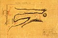 Battle of Talladega sketch.jpg 1,106 × 726; 134 KB
-
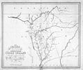
 Creek Country 1812-1814.jpg 806 × 667; 151 KB
-
 Creek war 1813-14.jpg 354 × 478; 46 KB
-
 Fort Easley.jpg 400 × 568; 48 KB
-
 Fort Glass and Madison.jpg 355 × 513; 26 KB
-
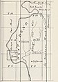
 Fort Hampton map.jpg 1,295 × 953; 209 KB
-
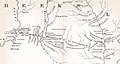 Fort Hull map.jpg 1,384 × 735; 153 KB
-
 Fort Stoddert.jpg 693 × 578; 56 KB
-
 Horseshoe Bend NMP DSC 0246 (5586391902).jpg 3,872 × 2,592; 1.26 MB


.jpg)