Category:Maps of the Ghurid Empire
Media in category "Maps of the Ghurid Empire"
The following 11 files are in this category, out of 11 total.
-
 Asia 1200ad.jpg 1,968 × 1,215; 731 KB
-
 DinastíaGúrida1149-1212-fa.svg 982 × 685; 154 KB
-
 DinastíaGúrida1149-1212.svg 982 × 685; 154 KB
-
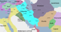 Eldiguzids-1175.png 1,122 × 595; 83 KB
-
 Ghori Dynasty 1149-1212 (AD).png 620 × 428; 20 KB
-
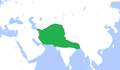
 Ghurid dynasty (greatest extent).svg 553 × 553; 270 KB
-
 Ghurid Empire according to Schwartzberg Atlas, p.147.png 3,524 × 2,418; 19.16 MB
-
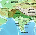 Ghurid Sultanate circa 1200 CE.jpg 695 × 685; 484 KB
-
 Ghurids1200.png 1,644 × 959; 28 KB
-
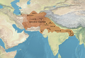
 Iran-Ghurids.jpg 2,516 × 1,414; 720 KB
-
 Iszlám világ 1200k.jpg 2,339 × 1,654; 544 KB


.png)
.svg)


