Category:Maps of the Kerama Islands
Media in category "Maps of the Kerama Islands"
The following 5 files are in this category, out of 5 total.
-
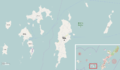
 Map of Kerama Islands.png 4,500 × 2,100; 413 KB
-
 Admiralty Chart No 3701 Plans in Okinawa Gunto, Published 1908.jpg 16,250 × 11,128; 49.94 MB
-
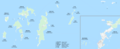 Kerama Islands Map Okinawa.png 4,830 × 1,978; 1.68 MB
-
 Kerama Islands map.jpg 872 × 551; 191 KB
-
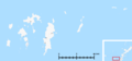
 Kerama Islands.png 1,424 × 825; 190 KB


