Category:Maps of the London Borough of Bromley
Media in category "Maps of the London Borough of Bromley"
The following 23 files are in this category, out of 23 total.
-
 BeckenhamConst.GIF 796 × 796; 19 KB
-
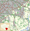
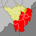
 Bexley and Bromley shown within London.PNG 200 × 155; 13 KB
-
 Bickley ward.PNG 474 × 477; 44 KB
-
 Biggin Hill in Bromley map.GIF 796 × 796; 16 KB
-
 Bromley borough map 1961.png 2,742 × 1,769; 122 KB
-
 Bromley London UK blank ward map 2022.svg 512 × 528; 1.71 MB
-
 Bromley London UK blank ward map.svg 1,210 × 1,266; 604 KB
-
 Bromley London UK labelled ward map 2002.svg 1,175 × 1,301; 179 KB
-
 Bromley London UK location map.svg 1,210 × 1,266; 2.45 MB
-
 Bromley UK locator map.svg 1,425 × 1,140; 1.06 MB
-
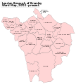
 Bromley Ward Map.GIF 849 × 881; 25 KB
-
 Bromley Ward Map.PNG 849 × 846; 31 KB
-
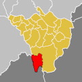
 Bromley&Chislehurst.GIF 747 × 749; 18 KB
-
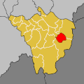 BromleyOrpington.GIF 796 × 796; 17 KB
-
 Burnt Ash marked.JPG 264 × 440; 39 KB
-
 LondonBromley.svg 962 × 744; 22 KB
-
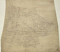 Ordnance Survey Drawings - Bromley (OSD 128).jpg 4,000 × 3,478; 4.25 MB
-
 Ordnance Survey One-inch Sheet 171 London S.E., Published 1970.jpg 11,148 × 13,200; 74.12 MB
-
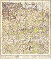 Ordnance Survey One-Inch Sheet 171 London SE, Published 1940.jpg 8,238 × 9,581; 13.91 MB
-
 Ordnance Survey One-Inch Sheet 171 London SE, Published 1964.jpg 8,317 × 9,976; 13.72 MB
-
 Orpington-P-C.GIF 796 × 796; 20 KB
-
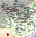 Places in London Borough of Bromley Map.png 800 × 837; 472 KB
-
 SELondon.PNG 360 × 293; 14 KB


.jpg)


