Category:Maps of the Metropolitan Borough of Rochdale
Media in category "Maps of the Metropolitan Borough of Rochdale"
The following 27 files are in this category, out of 27 total.
-
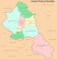 Ancient Parish of Rochdale.png 1,892 × 1,964; 547 KB
-
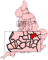 EnglandRochdale.png 200 × 247; 30 KB
-
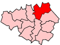
 GManc-Rochdale.png 200 × 151; 15 KB
-
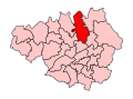
 GreaterManchesterRochdale.png 200 × 151; 16 KB
-
 HeywoodMiddleton2007Constituency.svg 322 × 242; 305 KB
-
 HeywoodMiddletonConstituency.svg 329 × 242; 76 KB
-
 Map of Buckley.jpg 1,520 × 2,703; 1.18 MB
-
 Metrolink 2CC.png 500 × 361; 54 KB
-
 Metrolink full network.png 500 × 361; 58 KB
-
 Metrolink phase3 complete.png 500 × 361; 62 KB
-
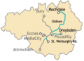
 Metrolink phase3 rochdale.png 500 × 361; 46 KB
-
 Metrolink phase3a.png 500 × 361; 50 KB
-
 Metrolink phase3b.png 500 × 361; 55 KB
-
 Metrolink Trafford Line.png 500 × 361; 51 KB
-
 OldhamEastSaddleworthConstituency.svg 329 × 242; 76 KB
-
 Oldhammap1924.jpg 3,504 × 2,544; 1.84 MB
-
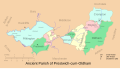 Prestwich cum Oldham.svg 601 × 341; 115 KB
-
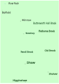
 River Beal 2.svg 744 × 1,052; 18 KB
-
 River Beal 4.svg 744 × 1,052; 42 KB
-
 River Beal 5.svg 744 × 1,052; 42 KB
-
 River Roch map 1.svg 1,052 × 744; 68 KB
-
 River Roch map 2.svg 1,052 × 744; 64 KB
-
 Rochdale UK locator map.svg 1,425 × 993; 860 KB
-
 Rochdale UK ward map 2010 (blank).svg 1,304 × 1,305; 388 KB
-
 Rochdale2007Constituency.svg 322 × 242; 305 KB
-
 RochdaleAncientParishNumbered.png 450 × 492; 27 KB
-
 RochdaleConstituency.svg 329 × 242; 76 KB


.svg)