Category:Maps of the Pandyan Dynasty
Media in category "Maps of the Pandyan Dynasty"
The following 11 files are in this category, out of 11 total.
-
 ImperioPandya1251-1283AD.svg 831 × 857; 592 KB
-
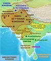 Indo-ScythiansMap.jpg 1,804 × 2,160; 628 KB
-
 IndoGreekKingdom-pt.svg 1,035 × 1,046; 493 KB
-
 Pandya Kingdom (south India).png 1,720 × 1,338; 443 KB
-
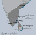 Pandya territories (Tamil).png 430 × 427; 52 KB
-
 Pandya territories1.svg 430 × 427; 67 KB
-
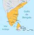
 Pandyan kingdom.jpg 538 × 457; 52 KB
-
 Rivers, lakes, and boundries of the Indo-Parthian kingdom-es.svg 693 × 834; 902 KB
-
 Rivers, lakes, and boundries of the Indo-Parthian kingdom-pt.svg 693 × 834; 757 KB
-
 Rivers, lakes, and boundries of the Indo-Parthian kingdom.svg 693 × 834; 755 KB
-
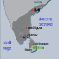
 South India in AD 1100.jpg 359 × 301; 92 KB


.png)
.png)


