Category:Maps of the history of Siberia
Media in category "Maps of the history of Siberia"
The following 26 files are in this category, out of 26 total.
-
 Altay Kamenschiki 179X.png 910 × 947; 66 KB
-
 Brockhaus and Efron Encyclopedic Dictionary b58 809-0.jpg 3,578 × 2,400; 3.16 MB
-
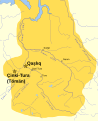
 Chulym region.png 1,200 × 1,200; 364 KB
-
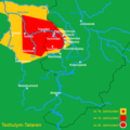
 Eastern Okraina mp.png 941 × 721; 38 KB
-
 Ice Age glacial lakes of Siberia and Central Asia - de.svg 1,238 × 1,046; 3.79 MB
-
 Ice Age glacial lakes of Siberia and Central Asia - ru.svg 1,238 × 1,046; 4.19 MB
-
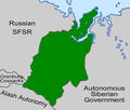
 Map of the Provisional Siberian Government (Vladivostok).png 353 × 115; 15 KB
-
 Peoples Siberia XVI.jpg 3,578 × 2,400; 1.69 MB
-
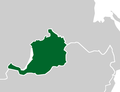
 Provisional Siberian Government (Omsk) map.png 1,064 × 904; 55 KB
-
 Rus and Siberia Khanate.png 1,105 × 822; 49 KB
-
 Rus1500-1900.PNG 588 × 248; 38 KB
-
 Siberian Khanate map English revised.svg 2,403 × 1,803; 89 KB
-
 Siberian Khanate map English.svg 3,050 × 3,750; 113 KB
-
 Siberian Khanate map Russian.svg 3,050 × 3,750; 113 KB
-
 Siberian Khanate map Spanish.svg 2,403 × 1,803; 316 KB
-
 Siberian Khanate map.svg 3,050 × 3,750; 131 KB
-
 Siberian Republic-it.svg 883 × 357; 106 KB
-
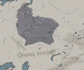 Sibirkhanligi.png 828 × 684; 328 KB
-
 Vitimo-Olekminskij NO 1937 map.jpg 708 × 567; 54 KB
-
 West Siberia 15-16 c.png 456 × 363; 385 KB
-
 Захоплення Сибіру.jpg 3,579 × 2,459; 1.27 MB
-
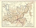
 Карта завоевания Западной Сибири.jpg 900 × 1,239; 1.1 MB
-
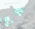
 Карта присоединения Восточный Сибири.jpg 1,473 × 1,126; 283 KB
-
 Покорение Сибири.gif 1,035 × 798; 330 KB
-
 Сибирский край 1929.jpg 2,685 × 1,793; 328 KB
-
 Система уральских княжеств на карте Сибирского ханства 16 век.jpg 609 × 457; 254 KB


_map.png)


.png)