Category:Maps of the history of Táchira
Federal territory: Capital District · Federal Dependencies · Territorial claim: Guayana Esequiba
| NO WIKIDATA ID FOUND! Search for Maps of the history of Táchira on Wikidata | |
| Upload media |

Media in category "Maps of the history of Táchira"
The following 8 files are in this category, out of 8 total.
-
 Armisticio in Venezuela (1881).svg 1,870 × 1,479; 816 KB
-
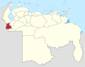
 Departamento Zulia 1823 - 1830.PNG 1,800 × 1,583; 39 KB
-
 Estado Los Andes (1881 - 1883).PNG 1,800 × 1,583; 38 KB
-
 Estado Los Andes (1883 - 1899).PNG 1,800 × 1,583; 39 KB
-
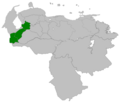
 Los Andes in Venezuela (1891).svg 1,870 × 1,479; 726 KB
-
 Provincia de La Grita.PNG 1,800 × 1,583; 39 KB
-
 Territorio Armisticio.PNG 1,800 × 1,583; 39 KB
-
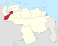
 Táchira in Venezuela (1856).svg 1,870 × 1,479; 777 KB
.svg)

.PNG)
.PNG)
.svg)


.svg)