Category:Maps showing 12th-century BC history
| Preceded by: 13th century BC maps |
12th century BC maps 1200 BC-1101 BC |
Succeeded by: 11th century BC maps |
Subcategories
This category has the following 2 subcategories, out of 2 total.
Media in category "Maps showing 12th-century BC history"
The following 11 files are in this category, out of 11 total.
-
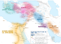
 Alter Orient 1200BC-es.svg 2,102 × 1,510; 3.57 MB
-
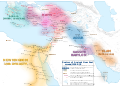
 Alter Orient 1200BC.svg 2,102 × 1,510; 4.71 MB
-
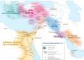
 Ancient Near East 1200BC.svg 2,102 × 1,510; 4.7 MB
-
 Ancient Orient History Map basis.de.svg 2,102 × 1,510; 8.63 MB
-
 Ashurreshishi.png 890 × 1,000; 228 KB
-
 Bronze Age End (Indonesian version).svg 1,151 × 812; 1.37 MB
-
 Bronze Age End-pt.svg 1,151 × 812; 1.37 MB
-
 Bronze Age End.svg 1,151 × 812; 1.43 MB
-
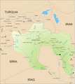
 Mesopotamia 1200 BC.jpg 2,256 × 1,555; 933 KB
-
 Teglatfalassar1.png 890 × 1,000; 246 KB
-
 The horse of America in his derivation, history and development BHL18390797.jpg 4,304 × 2,716; 920 KB


.svg)


