Category:Maps showing the 870s
Media in category "Maps showing the 870s"
The following 4 files are in this category, out of 4 total.
-
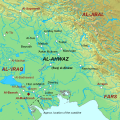 Al-Ahwaz ca. 875.svg 450 × 450; 514 KB
-
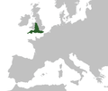
 Anglia w roku878.svg 874 × 1,142; 1.31 MB
-
 Kingdom of Wessex Map c.879.png 1,985 × 1,686; 153 KB
-
 Public Schools Historical Atlas - England 878.jpg 801 × 1,194; 336 KB


