Category:NCEP daily precipitation maps for 12 December
Media in category "NCEP daily precipitation maps for 12 December"
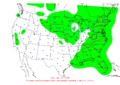
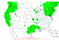
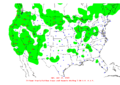
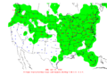
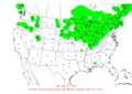
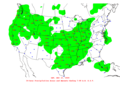
The following 18 files are in this category, out of 18 total.
-
 2003-12-12 24-hr Precipitation Map NOAA.png 1,000 × 710; 48 KB
-
 2004-12-12 24-hr Precipitation Map NOAA.png 1,000 × 710; 42 KB
-
 2005-12-12 24-hr Precipitation Map NOAA.png 1,000 × 710; 45 KB
-
 2006-12-12 24-hr Precipitation Map NOAA.png 1,000 × 710; 45 KB
-
 2007-12-12 24-hr Precipitation Map NOAA.png 1,000 × 710; 46 KB
-
 2008-12-12 24-hr Precipitation Map NOAA.png 1,000 × 710; 49 KB
-
 2009-12-12 24-hr Precipitation Map NOAA.png 1,000 × 710; 45 KB
-
 2010-12-12 24-hr Precipitation Map NOAA.png 1,000 × 710; 46 KB
-
 2011-12-12 24-hr Precipitation Map NOAA.png 1,000 × 710; 47 KB
-
 2012-12-12 24-hr Precipitation Map NOAA.png 1,000 × 710; 48 KB
-
 2013-12-12 24-hr Precipitation Map NOAA.png 1,000 × 710; 46 KB
-
 2014-12-12 24-hr Precipitation Map NOAA.png 1,000 × 710; 45 KB
-
 2015-12-12 24-hr Precipitation Map NOAA.png 1,000 × 710; 31 KB
-
 2016-12-12 24-hr Precipitation Map NOAA.png 1,000 × 710; 33 KB
-
 2017-12-12 24-hr Precipitation Map NOAA.png 1,000 × 710; 28 KB
-
 2018-12-12 24-hr Precipitation Map NOAA.png 1,000 × 710; 29 KB
-
 2019-12-12 24-hr Precipitation Map NOAA.png 1,000 × 710; 31 KB
-
 2020-12-12 24-hr Precipitation Map NOAA.png 1,000 × 710; 31 KB


