Category:Network maps of Paris RER
Media in category "Network maps of Paris RER"
The following 16 files are in this category, out of 16 total.
-
 Carte Transilien RER schématique.svg 4,520 × 3,763; 667 KB
-
 Central RER network.png 914 × 706; 315 KB
-
 Paris RER avant juillet 2007.svg 3,540 × 2,913; 687 KB
-
 Paris RER avant juillet 2011.svg 3,540 × 2,913; 658 KB
-
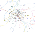
 Paris RER.png 9,755 × 8,029; 3.72 MB
-
 Paris RER.svg 3,540 × 2,913; 472 KB
-
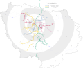
 RERParisVision2025.png 1,583 × 1,097; 496 KB
-
 Transilien and RER blank map without services.svg 4,481 × 4,263; 73 KB
-
 Transilien and RER blank map.svg 4,481 × 4,263; 88 KB
-
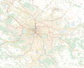
 Transilien Paris region map.jpg 3,109 × 3,170; 8.54 MB
-
 Transilien Île-de-France map.jpg 8,084 × 7,196; 35.37 MB
-
 Paris Metro map beschriftet.png 2,400 × 2,204; 1.36 MB
-
 Paris Metro map complete.svg 1,927 × 1,770; 1.02 MB
-
 Paris Metro map.gif 1,927 × 1,770; 214 KB
-
 Paris Metro map.svg 1,927 × 1,770; 309 KB
-
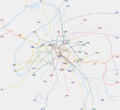
 Paris-public-transports.svg 6,977 × 5,614; 9.85 MB


