Category:Old maps of Franklin County, Ohio
Subcategories
This category has the following 4 subcategories, out of 4 total.
F
S
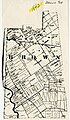
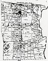
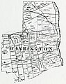
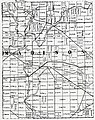
Media in category "Old maps of Franklin County, Ohio"
The following 23 files are in this category, out of 23 total.
-

-

-

-
 1842 Franklin County Map - DPLA - 5133b5bec99562c54c8e762209d6bd13.jpg 3,743 × 3,876; 3.96 MB
-
-

-

-

-
-

-

-

-

-

-
-

-

-
-

-

-
-
 Map of Franklin County, Ohio LOC 2012592221.jpg 10,556 × 8,663; 14.7 MB
-
 Map of Franklin County, Ohio LOC 2012592221.tif 10,556 × 8,663; 261.63 MB


