Category:Old maps of Schweinfurt
Urban districts (cities): Augsburg · Bamberg · Erlangen · Fürth · Ingolstadt · Kempten · Munich · Nuremberg · Passau · Regensburg · Schweinfurt · Straubing · Würzburg
Media in category "Old maps of Schweinfurt"
The following 42 files are in this category, out of 42 total.
-
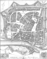
 Theatrum Vrbium 00224 Schweinfurt.jpg 1,228 × 952; 288 KB
-
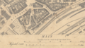
 SW Ausschnitt Stadtplan 1647.png 407 × 299; 158 KB
-
 M. Merian SW-Zürch.png 340 × 240; 87 KB
-
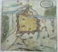
 Schweinfurt-1648-Merian.jpg 3,200 × 2,145; 1.74 MB
-
 De Merian Frankoniae 128.jpg 3,816 × 3,442; 3.77 MB
-
 De Merian Frankoniae 129.jpg 4,092 × 2,781; 2.9 MB
-
 M. Merian SW Ausschnitt Zeughaus.png 331 × 256; 113 KB
-
 Ausschnitt Stadtplan Schweinfurt von 1833.png 592 × 333; 402 KB
-
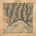
 Plan Schweinfurt 1833.png 623 × 778; 570 KB
-
 Urpositionsblatt SW.png 808 × 804; 1.37 MB
-
 Urpositionsblatt Bayern Oberndorf-Schweinfurt.png 1,326 × 939; 2.22 MB
-
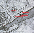
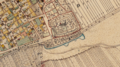
 Katasterplan Schweinfurt von 1868, Ausschnitt Maininseln.png 713 × 358; 587 KB
-
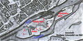
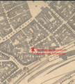
 SW Katasterplan 1868 Stadtbahnhof.png 454 × 438; 439 KB
-
 SW Histor. Karte Peterstirn.png 1,812 × 992; 3.78 MB
-
 SW Historische Karte Peterstirn.png 1,812 × 992; 3.54 MB
-
 SW Skizze Henneberg. Reichsburg.png 1,920 × 1,080; 4.73 MB
-
 SW Skizze Hennebergische Reichsburg.png 1,813 × 989; 4.14 MB
-
 SW Skizze Reichsburg Zürch.png 1,814 × 993; 4.16 MB
-
 Katasterplan Schweinfurt Ausschnitt westlich der Maxbrücke.png 789 × 468; 676 KB
-
 SW mit Schweinfurter Rhön.png 599 × 383; 443 KB
-
 Kursbuchkarte Raum Schweinfurt.png 476 × 293; 175 KB
-
 Bay. Urkataster Markt SW Geometrie.png 1,501 × 794; 2.52 MB
-
 Bayerisches Urpositionsblatt Schweinfurt, mit Main und Bächen.png 804 × 802; 1.24 MB
-
 BayernAtlas Urkataster Schweinfurt.png 1,210 × 1,040; 2.49 MB
-
 Katasterplan SW 1907 Fischerrain.png 726 × 411; 605 KB
-
 Katasterplan SW Roßmarkt 1907.png 1,061 × 725; 1.55 MB
-
 M. Merian. Angriff auf Schweinfurt.png 793 × 714; 954 KB
-
 Mainleite bei Schweinfurt. BayernAtlas Historische Karte.png 971 × 852; 1.76 MB
-
 Schweinfurt territory 18th cent..jpg 1,140 × 1,521; 448 KB
-
 SW BayernAtlas Hist. Karte Reichsburg.png 1,814 × 990; 4.14 MB
-
 SW Historische Karte Altstadt.png 1,815 × 990; 3.95 MB
-
 SW HIstorische Karte um Zeughaus.png 1,815 × 992; 3.89 MB
-
 SW Katasterplan 1907 Synagoge.png 390 × 421; 318 KB
-
 SW Lage Hennebergische Reichsburg.png 1,517 × 804; 2.96 MB
-
 SW Peterstirn Historie.png 1,379 × 610; 1.67 MB
-
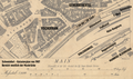
 SW Stadtplan Industriegebiet vor 1945.png 1,672 × 867; 2.48 MB
-
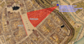
 SW Vermuteter Standort der ersten Synagoge.png 460 × 509; 458 KB
-
 SW-Oberndorf Karte ehem. Wasserburg.png 1,764 × 991; 3.85 MB
-
 Ultsch1 Planausschnitt Schillerplatz.png 371 × 369; 301 KB
-
 Ultsch1 SW Plan Neutorvorstadt.png 324 × 476; 327 KB
-
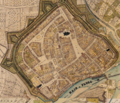
 Urkataster SW Innere Stadtmauer.png 1,579 × 987; 3.03 MB
-
 USAAF map of the raid on Schweinfurt, 14 October 1943.jpg 800 × 766; 98 KB


