Category:OpenStreetMap maps of Montevideo
Subcategories
This category has only the following subcategory.
S
Media in category "OpenStreetMap maps of Montevideo"
The following 15 files are in this category, out of 15 total.
-
 Location map Uruguay Montevideo.png 910 × 702; 634 KB
-
 Belvedere mapa.jpg 1,080 × 1,079; 238 KB
-
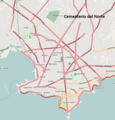 Cementerio del Norte, Montevideo.png 748 × 780; 702 KB
-
 Colón mapa.jpg 1,080 × 1,079; 240 KB
-
 Isla de Flores Montevideo.png 1,006 × 755; 399 KB
-
 Joanicó mapa.jpg 1,080 × 1,079; 235 KB
-
 Lezica mapa.jpg 1,080 × 1,079; 243 KB
-
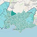
 Location map Uruguay Montevideo Ciudad Vieja.png 1,220 × 838; 409 KB
-
 Nuevo París mapa.jpg 1,080 × 1,079; 232 KB
-
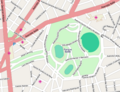 Parque Batlle.png 496 × 382; 148 KB
-
 Parque Prado.png 1,176 × 1,052; 577 KB
-
 Peñarol mapa.jpg 1,080 × 1,079; 239 KB
-
 Plaza de Cagancha.png 1,090 × 791; 424 KB
-
 Prado mapa.jpg 1,080 × 1,079; 233 KB
-
 Sayago mapa.jpg 1,080 × 1,079; 241 KB


