Category:PEF map of Western Palestine (details of sheet 8)
Media in category "PEF map of Western Palestine (details of sheet 8)"
The following 34 files are in this category, out of 34 total.
-

-
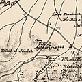
 Historical map series for the area of Abu Shusha, Haifa (1870s).jpg 745 × 748; 167 KB
-
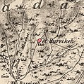
 Historical map series for the area of Abu Zurayq (1870s).jpg 745 × 749; 178 KB
-
 Historical map series for the area of al-Butaymat (1870s).jpg 744 × 748; 209 KB
-
 Historical map series for the area of al-Ghubayya al-Fawqa (1870s).jpg 745 × 748; 182 KB
-
 Historical map series for the area of al-Ghubayya al-Tahta (1870s).jpg 745 × 748; 171 KB
-
 Historical map series for the area of al-Kafrayn (1870s).jpg 744 × 748; 230 KB
-
 Historical map series for the area of al-Mansi (1870s).jpg 745 × 748; 198 KB
-
 Historical map series for the area of al-Rihaniyya (1870s).jpg 745 × 748; 239 KB
-
 Historical map series for the area of al-Sindiyana (1870s).jpg 744 × 748; 244 KB
-
 Historical map series for the area of Ayn al-Mansi (1870s).jpg 745 × 748; 197 KB
-
 Historical map series for the area of Ayn Ghazal (1870s).jpg 745 × 749; 206 KB
-
 Historical map series for the area of Burayka (1870s).jpg 744 × 748; 247 KB
-
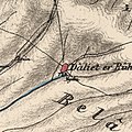 Historical map series for the area of Daliyat al-Rawha' (1870s).jpg 745 × 748; 228 KB
-
 Historical map series for the area of Ijzim (1870s).jpg 745 × 749; 247 KB
-
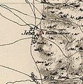 Historical map series for the area of Jaba', Haifa (1870s).jpg 745 × 749; 184 KB
-
 Historical map series for the area of Khirbat Al-Burj, Haifa (1870s).jpg 744 × 748; 134 KB
-
 Historical map series for the area of Khirbat Al-Manara (1870s).jpg 745 × 749; 188 KB
-
 Historical map series for the area of Khirbat al-Sarkas (1870s).jpg 743 × 747; 156 KB
-
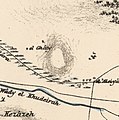
 Historical map series for the area of Khirbat al-Sawamir (1870s).jpg 745 × 749; 161 KB
-
 Historical map series for the area of Khirbat al-Shuna (1870s).jpg 744 × 748; 180 KB
-
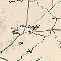 Historical map series for the area of Khirbat Lid (1870s).jpg 745 × 748; 124 KB
-
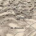 Historical map series for the area of Khirbat Qumbaza (1870s).jpg 745 × 749; 241 KB
-
 Historical map series for the area of Khubbayza (1870s).jpg 744 × 748; 196 KB
-
 Historical map series for the area of Lajjun (1870s).jpg 744 × 748; 213 KB
-
 Historical map series for the area of Naghnaghiya (1870s).jpg 745 × 748; 166 KB
-
 Historical map series for the area of Qannir (1870s).jpg 744 × 748; 248 KB
-
 Historical map series for the area of Qira, Haifa (1870s).jpg 745 × 749; 232 KB
-
 Historical map series for the area of Raml Zayta (1870s).jpg 743 × 747; 127 KB
-
 Historical map series for the area of Sabbarin (1870s).jpg 744 × 748; 236 KB
-
 Historical map series for the area of Umm ash Shauf (1870s).jpg 744 × 748; 209 KB
-
 Historical map series for the area of Umm az-Zinat (1870s).jpg 745 × 749; 245 KB
-
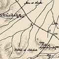
 Historical map series for the area of Wadi Ara, Haifa (1870s).jpg 744 × 747; 223 KB
-
 Kerkur.png 1,468 × 640; 1.42 MB
.jpg)
.jpg)
.jpg)
.jpg)
.jpg)
.jpg)
.jpg)
.jpg)
.jpg)
.jpg)
.jpg)
.jpg)
.jpg)
.jpg)
.jpg)
.jpg)
.jpg)
.jpg)
.jpg)
.jpg)
.jpg)
.jpg)
.jpg)
.jpg)
.jpg)
.jpg)
.jpg)
.jpg)
.jpg)
.jpg)
.jpg)
.jpg)
.jpg)
