Category:Pointe du Lamet
| Object location | | View all coordinates using: OpenStreetMap |
|---|
|
Pointe du Lamet has an entry on OpenStreetMap (show). |
mountain in France  | |||||
| Upload media | |||||
| Instance of | |||||
|---|---|---|---|---|---|
| Location | Savoie, Auvergne-Rhône-Alpes, Metropolitan France, France | ||||
| Mountain range | |||||
| Topographic prominence |
| ||||
| Topographic isolation |
| ||||
| Elevation above sea level |
| ||||
 | |||||
Media in category "Pointe du Lamet"
The following 5 files are in this category, out of 5 total.
-
 ALPS FLIGHT CDG-FCO EI-IXD (8483052630).jpg 3,177 × 2,119; 3.11 MB
-
 Lago Moncenisio con Punta Lamet e Punta di Ronce.JPG 3,072 × 2,304; 3.02 MB
-
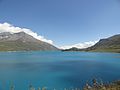 LagodelMoncenisio.JPG 4,608 × 3,456; 5.04 MB
-
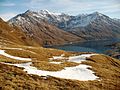
 Punta Lamet 001.JPG 4,000 × 3,000; 5.3 MB
-
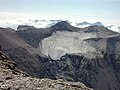
 Vetta della Punta Lamet.JPG 4,000 × 3,000; 4.27 MB
.jpg)


