Category:Rail transport maps of Nottinghamshire
Media in category "Rail transport maps of Nottinghamshire"
The following 20 files are in this category, out of 20 total.
-
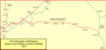
 Ambergate line 1850.png 1,492 × 705; 54 KB
-
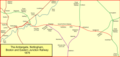
 Ambergate line 1857.png 1,492 × 705; 59 KB
-
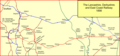
 Ambergate line 1879.png 1,492 × 705; 81 KB
-
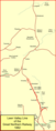
 Bawtry - haxey.png 1,075 × 688; 61 KB
-
 Lancashire, Derbyshire and East Coast Railway.png 1,502 × 702; 111 KB
-
 Leen-valley-1882.png 643 × 1,491; 69 KB
-
 Leen-valley-1901.png 643 × 1,491; 92 KB
-
 Leen-valley-now.png 643 × 1,491; 81 KB
-
 Mansfield-rly.png 1,230 × 1,025; 90 KB
-
 Mcrmap.jpg 400 × 886; 31 KB
-
 Midland Railway Ilkeston.jpg 300 × 412; 24 KB
-
 Nott-sub-1889.png 1,058 × 878; 74 KB
-
 Nott-sub-1900.png 1,058 × 878; 89 KB
-
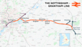 Nottingham–Grantham line.png 2,369 × 1,364; 1.87 MB
-
 Nottingham–Lincoln line.png 1,923 × 1,499; 1.91 MB
-
 Pinxton 1819.png 1,337 × 1,069; 50 KB
-
 Pinxton.png 1,337 × 1,069; 42 KB
-
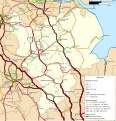 Rail transport infrastructure map - UK - East Midlands.svg 983 × 1,020; 6.31 MB
-
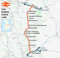 Robin Hood Line.png 1,486 × 1,439; 1.74 MB
-
 Sheffield–Lincoln line.png 2,977 × 2,159; 4.28 MB


