Category:Red Pike (Buttermere)
fell near Buttermere in the Lake District, England  | |||||
| Upload media | |||||
| Instance of | |||||
|---|---|---|---|---|---|
| Location |
| ||||
| Mountain range | |||||
| Elevation above sea level |
| ||||
 | |||||
Media in category "Red Pike (Buttermere)"
The following 24 files are in this category, out of 24 total.
-
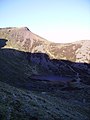
 A rocky hilltop - geograph.org.uk - 879418.jpg 640 × 480; 69 KB
-
 Approaching Red Pike - geograph.org.uk - 255778.jpg 640 × 480; 99 KB
-
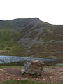
 Bleaberry Tarn.jpg 900 × 1,200; 426 KB
-
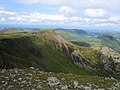
 Close to the summit of Red Pike - geograph.org.uk - 879407.jpg 640 × 480; 92 KB
-
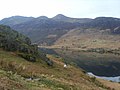 Crummock Water - geograph.org.uk - 1800189.jpg 640 × 480; 62 KB
-

-
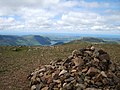
 Pile of stones on Red Pike - geograph.org.uk - 879409.jpg 640 × 480; 92 KB
-
 Red Pike - geograph.org.uk - 1464424.jpg 640 × 480; 65 KB
-
 Red Pike - geograph.org.uk - 1509672.jpg 640 × 480; 83 KB
-
 Red Pike - geograph.org.uk - 690452.jpg 640 × 427; 193 KB
-
 Red Pike - geograph.org.uk - 782519.jpg 640 × 480; 130 KB
-
 Red Pike and Bleaberry Tarn - geograph.org.uk - 250125.jpg 480 × 640; 82 KB
-
 Red Pike and Bleaberry Tarn - geograph.org.uk - 879395.jpg 640 × 480; 87 KB
-
 Red Pike from Bleaberry Tarn - geograph.org.uk - 243148.jpg 480 × 640; 110 KB
-
 Red Pike from High Stile - geograph.org.uk - 882865.jpg 640 × 480; 74 KB
-
 Red Pike from Yewbarrow - geograph.org.uk - 283117.jpg 640 × 480; 82 KB
-
 Sourmilk Gill - geograph.org.uk - 1463983.jpg 480 × 640; 89 KB
-
 Starling Dodd from Mellbreak - geograph.org.uk - 695032.jpg 640 × 427; 182 KB
-
 Summit Cairn - Red Pike - geograph.org.uk - 1745067.jpg 640 × 480; 96 KB
-
 Summit Cairn, Red Pike - geograph.org.uk - 882927.jpg 640 × 480; 83 KB
-
 View from Red Pike towards High Stile - geograph.org.uk - 320318.jpg 640 × 439; 133 KB
-

-
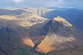 Yewbarrow Red Pike Low Tarn aerial.jpg 3,872 × 2,592; 6.15 MB
-
 Eskdale Moor - geograph.org.uk - 5436.jpg 640 × 480; 68 KB


