Category:Road maps in the Democratic Republic of the Congo
Media in category "Road maps in the Democratic Republic of the Congo"
The following 3 files are in this category, out of 3 total.
-
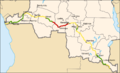 Congo-Kinshasa - RN1-status 2006.png 900 × 549; 134 KB
-
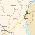 Congo-Kinshasa - RN2-status 2006.png 437 × 444; 62 KB
-
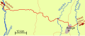 Situation of Kenge between the Kwango, Wamba and Bakali rivers.svg 1,819 × 766; 57 KB


