Category:SVG transport maps of Poland
Media in category "SVG transport maps of Poland"
The following 19 files are in this category, out of 19 total.
-
 1986 PST koncepcja.svg 640 × 480; 136 KB
-
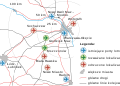 New warsaw airport proposal.svg 1,198 × 854; 62 KB
-
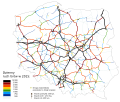
 PL motorways 2009.07.29.svg 610 × 572; 78 KB
-
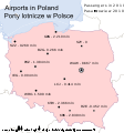
 Poland airports 2006.svg 1,053 × 1,131; 46 KB
-
 Poland airports 2007.svg 1,053 × 1,131; 46 KB
-
 Poland airports 2008.svg 1,053 × 1,131; 47 KB
-
 Poland airports 2009.svg 1,053 × 1,131; 189 KB
-
 Poland airports 2010.svg 1,053 × 1,131; 170 KB
-
 Poland airports 2011.svg 1,053 × 1,131; 172 KB
-
 Poland airports 2012.svg 1,053 × 1,131; 175 KB
-
 Poland airports 2013.svg 1,053 × 1,131; 175 KB
-
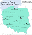 Poland airports 2014.svg 1,053 × 1,131; 178 KB
-
 Poland airports 2015.svg 1,053 × 1,131; 179 KB
-
 Poland airports 2016.svg 1,053 × 1,131; 73 KB
-
 Ruch tirow 2015.svg 2,094 × 1,765; 937 KB
-
 Ruch tirow w 2010.svg 1,963 × 1,655; 736 KB
-
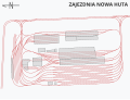 Zajezdnia Nowa Huta.svg 5,250 × 4,000; 59 KB
-
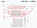 Zajezdnia Podgórze.svg 5,250 × 4,000; 51 KB
-
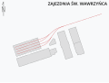 Zajezdnia św. Wawrzyńca.svg 5,250 × 4,000; 18 KB


