Category:ShakeMaps of earthquakes in Ecuador
Media in category "ShakeMaps of earthquakes in Ecuador"
The following 10 files are in this category, out of 10 total.
-
 1970 Peru–Ecuador earthquake intensity.jpg 777 × 1,011; 305 KB
-
 1979 Tumaco earthquake ShakeMap.jpg 864 × 792; 143 KB
-
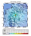
 1987 Ecuador-Colombia earthquakes ShakeMap.jpg 864 × 792; 205 KB
-
 2013 Nariño earthquake ShakeMap.jpg 864 × 792; 167 KB
-
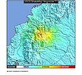
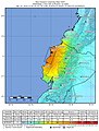
 2014 Quito earthquake.jpg 612 × 717; 141 KB
-
 2019-02-22 Palora, Ecuador M7.5 earthquake shakemap (USGS).jpg 862 × 1,061; 433 KB
-
 2019-03-31 Santa Elena, Ecuador M6.2 earthquake shakemap (USGS).jpg 927 × 1,068; 272 KB
-
 2019-05-26 Lagunas, Peru M8 earthquake shakemap (USGS).jpg 871 × 1,129; 469 KB
-
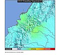
 Manabisismo2017.jpg 612 × 718; 103 KB
-
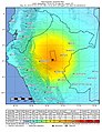
 Shakemap Ecuador April 2016.jpg 762 × 1,001; 288 KB


.jpg)
.jpg)
.jpg)

