Category:Swahili-language maps
Subcategories
This category has the following 3 subcategories, out of 3 total.
Media in category "Swahili-language maps"
The following 18 files are in this category, out of 18 total.
-
 Angola simplemap-sw.svg 512 × 561; 3.95 MB
-
 Bahari ya Barents.png 986 × 898; 481 KB
-
 Bahari zinazopakana na Antaktiki.png 1,118 × 882; 514 KB
-
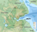 Djibouti map-sw.svg 638 × 551; 17.54 MB
-
 Gondwana spishi.jpg 577 × 443; 91 KB
-
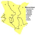 Kenya mikoa.JPG 573 × 571; 33 KB
-
 Kenya mikoa.png 573 × 571; 35 KB
-
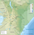 Kenya topographic map-sw.svg 1,181 × 1,231; 3.18 MB
-
 Labrador.png 280 × 230; 39 KB
-
 Lugha za Afrika.png 419 × 387; 21 KB
-
 Maritime boundaries between Comoros and France-sw.svg 2,208 × 1,572; 787 KB
-
 Pacific Ocean - sw.png 330 × 330; 33 KB
-
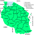
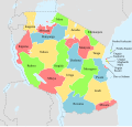 Regions of Tanzania sw.svg 3,096 × 2,947; 974 KB
-
 Tanzania map-sw.svg 2,064 × 2,075; 3.15 MB
-
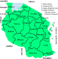 Tanzania Mikoa.PNG 536 × 546; 41 KB
-
 TZ Mwanza.png 541 × 546; 41 KB
-
 Unguja Mjini West.PNG 540 × 552; 41 KB
-
 United States Slavery Map 1860-sw.jpg 1,200 × 672; 167 KB


