Category:United States House of Representatives election maps of Arkansas
States of the United States: Alabama · Alaska · Arizona · Arkansas · California · Colorado · Connecticut · Delaware · Florida · Hawaii · Idaho · Illinois · Indiana · Iowa · Kansas · Kentucky · Louisiana · Maine · Maryland · Massachusetts · Michigan · Minnesota · Mississippi · Missouri · Montana · Nebraska · Nevada · New Hampshire · New Jersey · New Mexico · New York · North Carolina · North Dakota · Ohio · Oklahoma · Oregon · Pennsylvania · Rhode Island · South Carolina · South Dakota · Tennessee · Texas · Utah · Vermont · Virginia · Washington · West Virginia · Wisconsin · Wyoming – Washington, D.C.
Subcategories
This category has the following 2 subcategories, out of 2 total.
Media in category "United States House of Representatives election maps of Arkansas"
The following 19 files are in this category, out of 19 total.
-
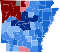
 1842 Arkansas at-large congressional election.svg 800 × 699; 626 KB
-
-
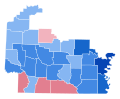
 2006 AR-2 election results.svg 800 × 567; 356 KB
-
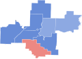
 2006 AR-3 election results.svg 800 × 705; 208 KB
-
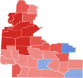
 2006 AR-4 election results.svg 800 × 646; 1.38 MB
-
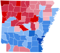
 2006 House Election in AR-01.svg 800 × 764; 336 KB
-

-
-
 2012 AR-1 Election Results.svg 800 × 846; 490 KB
-
 2014 AR-1 Election Results.svg 800 × 846; 490 KB
-
 2016 AR-1 Election Results.svg 800 × 846; 482 KB
-
 2020 AR 1 by county.svg 799 × 783; 321 KB
-
 AR-1 2010 Election Results by County.svg 584 × 559; 14 KB
-
 AR-2 2010 Election Results by County.svg 435 × 323; 6 KB
-
 AR-3 2010 Election Results by County.svg 403 × 362; 6 KB
-
 AR-4 2010 Election Results by County.svg 648 × 532; 17 KB
-
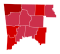
 AR-4 2012 Election Results by County.svg 799 × 750; 442 KB
-
 Arkansas 2002 House Map.svg 810 × 709; 21 KB
-
 Arkansas 2006 House Map.svg 810 × 709; 21 KB


