File:"Joggeli" (flying by) - panoramio.jpg

Size of this preview: 800 × 384 pixels. Other resolutions: 320 × 154 pixels | 640 × 307 pixels | 1,024 × 492 pixels | 1,280 × 615 pixels | 2,568 × 1,233 pixels.
Original file (2,568 × 1,233 pixels, file size: 2.59 MB, MIME type: image/jpeg)
Captions
Captions
Add a one-line explanation of what this file represents
Summary
edit_-_panoramio.jpg&action=edit§ion=1)
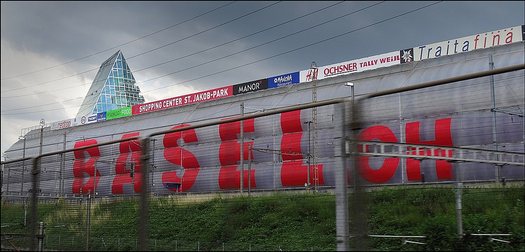
| Description | "Joggeli" (flying by) | ||
| Date | Taken on 19 June 2015 | ||
| Source | https://web.archive.org/web/20161031194349/http://www.panoramio.com/photo/120721598 | ||
| Author | More pics than views… | ||
| Permission (Reusing this file) |
This file is licensed under the Creative Commons Attribution 3.0 Unported license. Attribution: More pics than views…
|
||
| Panoramio Tags | Basel |
| Camera location | | View this and other nearby images on: OpenStreetMap |
|---|
_-_panoramio.jpg¶ms=047.543251_N_0007.619463_E_globe:Earth_type:camera_source:Panoramio_&language=en)
File history
Click on a date/time to view the file as it appeared at that time.
| Date/Time | Thumbnail | Dimensions | User | Comment | |
|---|---|---|---|---|---|
| current | 16:31, 18 May 2017 | | 2,568 × 1,233 (2.59 MB) | Panoramio upload bot (talk | contribs) | == {{int:filedesc}} == {{Information |description="Joggeli" (flying by) |date={{Taken on|2015-06-19}} |source=http://www.panoramio.com/photo/120721598 |author=[http://www.panoramio.com/user/8308934?with_photo_id=120721598 More pics than views…] |perm... |
You cannot overwrite this file.
File usage on Commons
There are no pages that use this file.
_-_panoramio.jpg&oldid=731810605)