File:"Vana" villege areas pano view from Gazane چشم اندازی از روستاهای وانا و گزَنَک از ارتفاعات گزَنِه - panoramio.jpg
Size of this preview: 800 × 316 pixels. Other resolutions: 320 × 126 pixels | 640 × 253 pixels | 1,024 × 405 pixels | 1,280 × 506 pixels | 3,050 × 1,205 pixels.
Original file (3,050 × 1,205 pixels, file size: 609 KB, MIME type: image/jpeg)
Captions
Captions
Add a one-line explanation of what this file represents
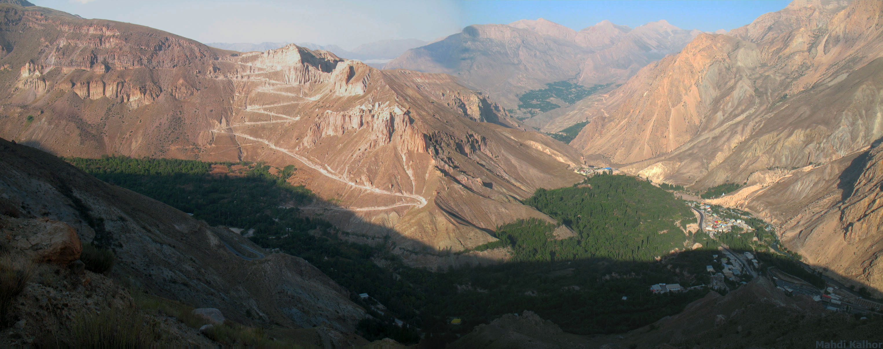
| Description | A view from foothills of Mount Damavand towards east: Mount Seni (right), Haraz River Valley (right), Talkh River Valley (left), Gazanak (right), Mount Palales (middle top) | ||
| Date |
19 December 2009 (original upload date) 22 August 2009 (original upload date) |
||
| Source | https://web.archive.org/web/20161015153921/http://www.panoramio.com/photo/30062055 | ||
| Author | Mahdi Kalhor | ||
| Permission (Reusing this file) |
This file is licensed under the Creative Commons Attribution 3.0 Unported license. Attribution: Mahdi Kalhor
|
| Camera location | | View this and other nearby images on: OpenStreetMap |
|---|
File history
Click on a date/time to view the file as it appeared at that time.
| Date/Time | Thumbnail | Dimensions | User | Comment | |
|---|---|---|---|---|---|
| current | 19:58, 1 November 2016 | 3,050 × 1,205 (609 KB) | Panoramio upload bot (talk | contribs) | {{Information |description="Vana" villege areas pano view from Gazane چشم اندازی از روستاهای وانا و گزَنَک از ارتفاعات گزَنِه |date={{Original upload date|2009-12-19}} |source=http://www.panoramio.com/pho... |
You cannot overwrite this file.
File usage on Commons
There are no pages that use this file.