File:Územní plán - Hradec Králové, 2011.png

Size of this preview: 776 × 600 pixels. Other resolutions: 311 × 240 pixels | 621 × 480 pixels | 994 × 768 pixels | 1,241 × 959 pixels.
Original file (1,241 × 959 pixels, file size: 112 KB, MIME type: image/png)
Captions
Captions
Add a one-line explanation of what this file represents
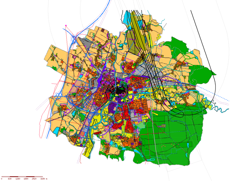
| Description | Územní plán - Hradec Králové, 2011 |
| Date | |
| Source | http://www.hradeckralove.org/urad/uzemni-plan, http://mapserver.mmhk.cz/tms/hkfvu/index.php?client_type=map_resize&strange_opener=1 |
| Author | Statutární město Hradec Králové |
According to the Czech Copyright Act, this work is in the public domain.
(Law No. 121/2000, Article 3, Section a) “Protection pursuant to this Act shall not apply to
|
 |
File history
Click on a date/time to view the file as it appeared at that time.
| Date/Time | Thumbnail | Dimensions | User | Comment | |
|---|---|---|---|---|---|
| current | 15:47, 7 March 2016 | | 1,241 × 959 (112 KB) | Avayak (talk | contribs) | bezeztrátově optimalizováno |
| 13:28, 13 August 2011 |  | 1,241 × 959 (315 KB) | Kozuch (talk | contribs) | {{Information |Description=Územní plán - Hradec Králové, 2011 |Source=http://www.hradeckralove.org/urad/uzemni-plan, http://mapserver.mmhk.cz/tms/hkfvu/index.php?client_type=map_resize&strange_opener=1 |Date=2011 |Author=Statutární město Hradec Kr |
You cannot overwrite this file.
File usage on Commons
There are no pages that use this file.
File usage on other wikis
The following other wikis use this file:
- Usage on cs.wikipedia.org