File:Čechy po roce 1920 na mapě Česka.png

Size of this preview: 800 × 460 pixels. Other resolutions: 320 × 184 pixels | 640 × 368 pixels | 1,024 × 588 pixels | 1,280 × 735 pixels | 2,560 × 1,471 pixels | 3,662 × 2,104 pixels.
Original file (3,662 × 2,104 pixels, file size: 515 KB, MIME type: image/png)
Captions
Captions
Add a one-line explanation of what this file represents
Summary
edit
| Description |
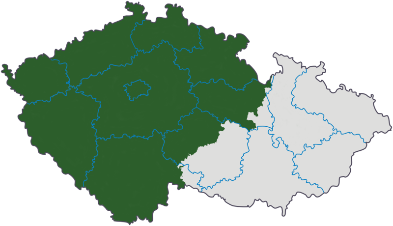
Čeština: Vytvořeno úpravou mapy Image:Cesko-kraje.svg |
| Date | 21 May 2006 (original upload date) |
| Source | Image:Cesko-kraje.svg; Originally from cs.wikipedia; description page is/was here. |
| Author | Original uploader was Kirk at cs.wikipedia |
| Permission (Reusing this file) |
Released under the GNU Free Documentation License; Licensed under the GFDL by the author. |
Licensing
edit

|
Permission is granted to copy, distribute and/or modify this document under the terms of the GNU Free Documentation License, Version 1.2 or any later version published by the Free Software Foundation; with no Invariant Sections, no Front-Cover Texts, and no Back-Cover Texts. A copy of the license is included in the section entitled GNU Free Documentation License. |
| This file is licensed under the Creative Commons Attribution-Share Alike 3.0 Unported license. | ||
| Attribution: Kirk | ||
| ||
| This licensing tag was added to this file as part of the GFDL licensing update. |
Original upload log
edit
(All user names refer to cs.wikipedia)
- 2006-11-24 22:38 Kirk 3662×2104×8 (744579 bytes) miniaturní korekce hranic
- 2006-11-07 21:59 Kirk 3662×2104×8 (744608 bytes)
- 2006-11-04 11:46 Kirk 3662×2104×8 (744676 bytes)
- 2006-10-21 17:43 Kirk 3662×2104×8 (745192 bytes)
- 2006-05-23 20:16 Kirk 800×460×8 (107617 bytes)
- 2006-05-21 14:06 Kirk 800×460×8 (108006 bytes)
File history
Click on a date/time to view the file as it appeared at that time.
| Date/Time | Thumbnail | Dimensions | User | Comment | |
|---|---|---|---|---|---|
| current | 08:33, 29 March 2008 | | 3,662 × 2,104 (515 KB) | Timichal (talk | contribs) | {{Information |Description={{cs|''Vytvořeno úpravou mapy cs::Soubor:Česko-kraje.svg'' cs:Kategorie:Mapy českých zemí}} |Source=Originally from [http://cs.wikipedia.org cs.wikipedia]; description page is/was [http://cs.wikipedia.org/w/in |
You cannot overwrite this file.
File usage on Commons
The following page uses this file:
File usage on other wikis
The following other wikis use this file:
- Usage on cs.wikipedia.org
- Usage on eo.wikipedia.org
- Usage on simple.wikipedia.org
- Usage on sk.wikipedia.org
- Usage on sw.wikipedia.org
- Usage on www.wikidata.org