File:Đồng khởi,Bến nghé, q 1, hcmvn - panoramio.jpg

Size of this preview: 800 × 529 pixels. Other resolutions: 320 × 211 pixels | 640 × 423 pixels | 1,024 × 677 pixels | 1,280 × 846 pixels | 2,560 × 1,692 pixels | 3,264 × 2,157 pixels.
Original file (3,264 × 2,157 pixels, file size: 5.43 MB, MIME type: image/jpeg)
Captions
Captions
Add a one-line explanation of what this file represents
Summary
edit
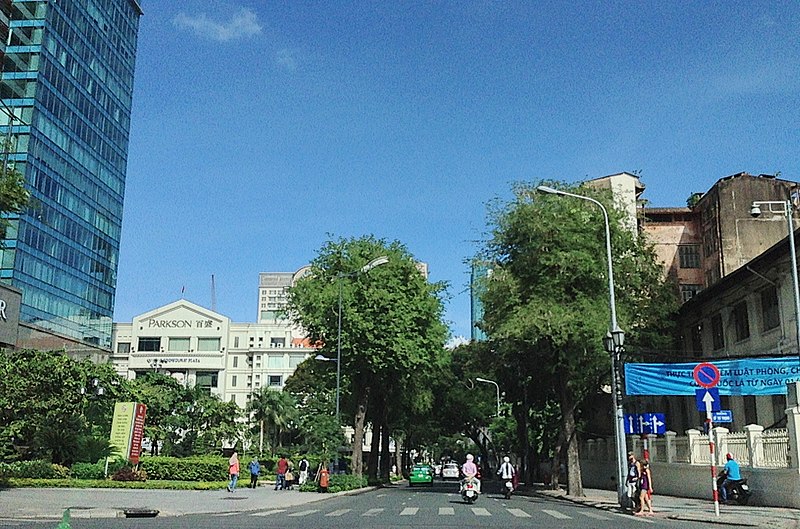
| Description | Đồng khởi,Bến nghé, q 1, hcmvn | ||
| Date | Taken on 26 May 2013 | ||
| Source | https://web.archive.org/web/20161030040801/http://www.panoramio.com/photo/91299913 | ||
| Author | trungydang | ||
| Permission (Reusing this file) |
This file is licensed under the Creative Commons Attribution 3.0 Unported license. Attribution: trungydang
|
||
| Tags (from Panoramio photo page) | Ho Chi Minh City, Hồ Chí Minh city, Quận 1, Saigon (duong pho), Tp Hồ Chí Minh |
| Camera location | | View this and other nearby images on: OpenStreetMap |
|---|
File history
Click on a date/time to view the file as it appeared at that time.
| Date/Time | Thumbnail | Dimensions | User | Comment | |
|---|---|---|---|---|---|
| current | 16:31, 21 February 2017 | | 3,264 × 2,157 (5.43 MB) | Panoramio upload bot (talk | contribs) | == {{int:filedesc}} == {{Information |description=Đồng khởi,Bến nghé, q 1, hcmvn |date={{Taken on|2013-05-26}} |source=http://www.panoramio.com/photo/91299913 |author=[http://www.panoramio.com/user/5317517?with_photo_id=91299913 trungydang] |pe... |
You cannot overwrite this file.
File usage on Commons
There are no pages that use this file.
File usage on other wikis
The following other wikis use this file:
- Usage on en.wikipedia.org
- Usage on vi.wikipedia.org
- Usage on zh.wikipedia.org