File:Łosice (gmina) location map.png
Size of this preview: 601 × 600 pixels. Other resolutions: 241 × 240 pixels | 481 × 480 pixels | 818 × 816 pixels.
Original file (818 × 816 pixels, file size: 145 KB, MIME type: image/png)
Captions
Captions
Add a one-line explanation of what this file represents
| Description |
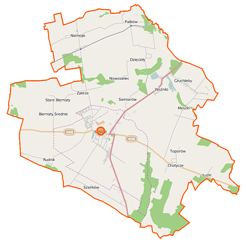
Polski: Mapa gminy Łosice, Polska
English: Map of Gmina Łosice, Poland |
|||||||||
| Date | ||||||||||
| Source | You may find a page on the OpenStreetMap wiki page for Łosice (gmina) | |||||||||
| Creator |
OpenStreetMap contributors OpenStreetMap contributors |
|||||||||
| Permission (Reusing this file) |
OpenStreetMap data is available under the Open Database License (details). Map tiles are licensed under the Creative Commons Attribution-ShareAlike 2.0 license (CC-BY-SA 2.0).
This file is licensed under the Creative Commons Attribution-Share Alike 2.0 Generic license.
|
|||||||||
| Geotemporal data | ||||||||||
| Bounding box |
|
|||||||||
| Georeferencing | If inappropriate please set warp_status = skip to hide. | |||||||||
File history
Click on a date/time to view the file as it appeared at that time.
| Date/Time | Thumbnail | Dimensions | User | Comment | |
|---|---|---|---|---|---|
| current | 11:12, 12 September 2014 | | 818 × 816 (145 KB) | VanWiel (talk | contribs) | |
| 14:21, 31 July 2014 |  | 818 × 816 (155 KB) | VanWiel (talk | contribs) | {{OpenStreetMap | name = Łosice (gmina) | location = Łosice (gmina) | description = {{pl|Mapa gminy Łosice, Polska}} {{en|Map of Gmina Łosice, Poland}} | top = 52.2858 | left = 22.6267 | right... |
You cannot overwrite this file.
File usage on Commons
There are no pages that use this file.
File usage on other wikis
The following other wikis use this file:
- Usage on fr.wikipedia.org
- Usage on nl.wikipedia.org
- Usage on pl.wikipedia.org
- Łosice
- Łosice (gmina)
- Biernaty Średnie
- Chotycze
- Czuchleby
- Meszki
- Niemojki
- Szańków
- Stare Biernaty
- Świniarów
- Zakrze
- Jeziory (województwo mazowieckie)
- Nowosielec (województwo mazowieckie)
- Toporów (województwo mazowieckie)
- Dzięcioły (powiat łosicki)
- Łuzki (powiat łosicki)
- Patków (powiat łosicki)
- Rudnik (powiat łosicki)
- Woźniki (powiat łosicki)
- RTCN Łosice
- Niemojki (osada w województwie mazowieckim)
- Patków-Prusy
- Chotycze-Kolonia
- Kolonia Szańków
- Niemojki (stacja kolejowa)
- Patków (przystanek kolejowy)
- Cmentarz żydowski w Łosicach
- Parafia św. Zygmunta Króla w Łosicach
- Parafia Trójcy Świętej w Łosicach
- Parafia Świętych Apostołów Piotra i Pawła w Niemojkach
- Parafia Macierzyństwa Najświętszej Maryi Panny w Łuzkach
- Różowa
- Dwór (Chotycze)
- Kościół Świętego Zygmunta w Łosicach
- Moduł:Mapa/dane/Łosice
- Moduł:Mapa/dane/Łosice (gmina)
- Usage on pl.wikibooks.org
_location_map.png&oldid=467055823)