File:Łososina Dolna (gmina) location map.png
Original file (2,082 × 1,879 pixels, file size: 622 KB, MIME type: image/png)
Captions
Captions
Summary
edit_location_map.png&action=edit§ion=1)
| Description |
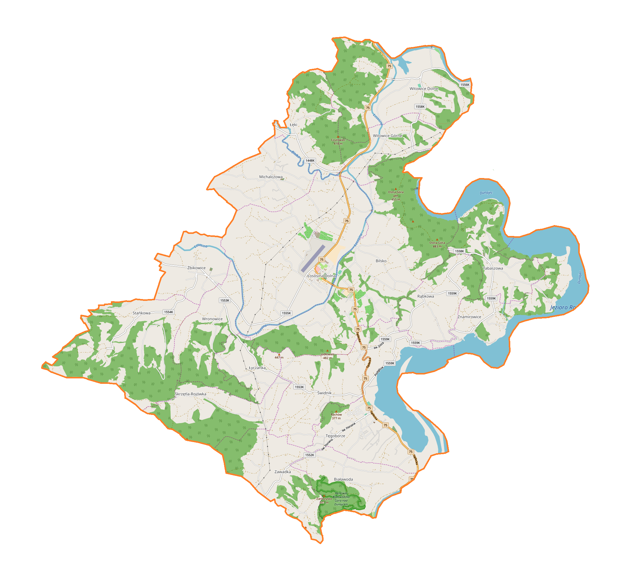
English: Location map |
| Date | |
| Source | Own work |
| Author | Smat |
| Description |
Polski: Mapa gminy Łososina Dolna, Polska
English: Map of Łososina Dolna (gmina), Poland |
|||||||||
| Date | ||||||||||
| Source | You may find a page on the OpenStreetMap wiki page for Łososina Dolna (gmina) | |||||||||
| Creator |
OpenStreetMap contributors OpenStreetMap contributors |
|||||||||
| Permission (Reusing this file) |
OpenStreetMap data is available under the Open Database License (details). Map tiles are licensed under the Creative Commons Attribution-ShareAlike 2.0 license (CC-BY-SA 2.0).
This file is licensed under the Creative Commons Attribution-Share Alike 2.0 Generic license.
|
|||||||||
| Geotemporal data | ||||||||||
| Bounding box |
|
|||||||||
| Georeferencing | If inappropriate please set warp_status = skip to hide. | |||||||||
Licensing
edit_location_map.png&action=edit§ion=2)
| This work contains information from OpenStreetMap, which is made available under the Open Database License (ODbL).
The ODbL does not require any particular license for maps produced from ODbL data. Prior to 1 August 2020, map tiles produced by the OpenStreetMap Foundation were licensed under the CC-BY-SA-2.0 license. Maps produced by other people may be subject to other licences. |
File history
Click on a date/time to view the file as it appeared at that time.
| Date/Time | Thumbnail | Dimensions | User | Comment | |
|---|---|---|---|---|---|
| current | 10:47, 13 April 2018 | | 2,082 × 1,879 (622 KB) | Smat (talk | contribs) | User created page with UploadWizard |
You cannot overwrite this file.
File usage on Commons
There are no pages that use this file.
File usage on other wikis
The following other wikis use this file:
- Usage on pl.wikipedia.org
- Tabaszowa
- Łososina Dolna
- Michalczowa
- Rąbkowa
- Skrzętla-Rojówka
- Tęgoborze
- Witowice Dolne
- Witowice Górne
- Żbikowice
- Znamirowice
- Białawoda (województwo małopolskie)
- Bilsko (województwo małopolskie)
- Stańkowa (województwo małopolskie)
- Wronowice (województwo małopolskie)
- Łęki (powiat nowosądecki)
- Łyczanka (powiat nowosądecki)
- Świdnik (powiat nowosądecki)
- Zawadka (powiat nowosądecki)
- Skrzętla
- Rojówka
- Rezerwat przyrody Białowodzka Góra nad Dunajcem
- Parafia Świętych Apostołów Piotra i Pawła w Łososinie Dolnej
- Lotnisko Nowy Sącz-Łososina Dolna
- Parafia Matki Bożej Bolesnej w Żbikowicach
- Cmentarz wojenny nr 353 – Tęgoborze
- Parafia św. Mikołaja Biskupa w Tabaszowej
- Parafia św. Stanisława Biskupa w Tęgoborzy
- Parafia Najświętszej Maryi Panny Królowej Polski w Michalczowej
- Cmentarz wojenny nr 355 – Żbikowice
- Moduł:Mapa/dane/Łososina Dolna (gmina)
- Kościół Narodzenia Najświętszej Maryi Panny na Juście
- Łososina (Natura 2000)
- Białowodzka Góra nad Dunajcem
- Just (Tęgoborze)
- Stara Wieś (Tęgoborze)
- Załęże Wyżne
- Załęże Niżne
- Witkówka
- Rozdziele (Zawadka)
- Jarostowa
- Jakubkowice (Łososina Dolna)
- Łączne
- Sadowa (Łososina Dolna)
- Wola Stańkowska
- Rośmirowa
- Usage on pl.wikibooks.org
_location_map.png&oldid=706044268)