File:Вид на террикон - panoramio (1).jpg

Size of this preview: 800 × 450 pixels. Other resolutions: 320 × 180 pixels | 640 × 360 pixels | 1,024 × 576 pixels | 1,280 × 720 pixels | 2,816 × 1,584 pixels.
Original file (2,816 × 1,584 pixels, file size: 820 KB, MIME type: image/jpeg)
Captions
Captions
Add a one-line explanation of what this file represents
Summary
edit.jpg&action=edit§ion=1)
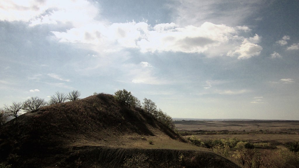
| Description | Вид на террикон | ||
| Date | Taken on 30 September 2012 | ||
| Source | https://web.archive.org/web/20161101004023/http://www.panoramio.com/photo/129922257 | ||
| Author | TurboMакс | ||
| Permission (Reusing this file) |
This file is licensed under the Creative Commons Attribution 3.0 Unported license. Attribution: TurboMакс
|
||
| Panoramio Tags | Enhel'sove |
| Camera location | | View this and other nearby images on: OpenStreetMap |
|---|
.jpg¶ms=048.297820_N_0039.613727_E_globe:Earth_type:camera_source:Panoramio_&language=en)
File history
Click on a date/time to view the file as it appeared at that time.
| Date/Time | Thumbnail | Dimensions | User | Comment | |
|---|---|---|---|---|---|
| current | 15:47, 5 July 2017 | | 2,816 × 1,584 (820 KB) | Panoramio upload bot (talk | contribs) | == {{int:filedesc}} == {{Information |description=Вид на террикон |date={{Taken on|2012-09-30}} |source=http://www.panoramio.com/photo/129922257 |author=[http://www.panoramio.com/user/4135175?with_photo_id=129922257 TurboMакс] |permissi... |
You cannot overwrite this file.
File usage on Commons
There are no pages that use this file.
.jpg&oldid=456277131)