File:Вид с Кирпичного мыса.jpg
Size of this preview: 800 × 600 pixels. Other resolutions: 320 × 240 pixels | 640 × 480 pixels | 1,024 × 768 pixels | 1,280 × 960 pixels | 1,600 × 1,200 pixels.
Original file (1,600 × 1,200 pixels, file size: 500 KB, MIME type: image/jpeg)
Captions
Captions
Add a one-line explanation of what this file represents
Summary edit
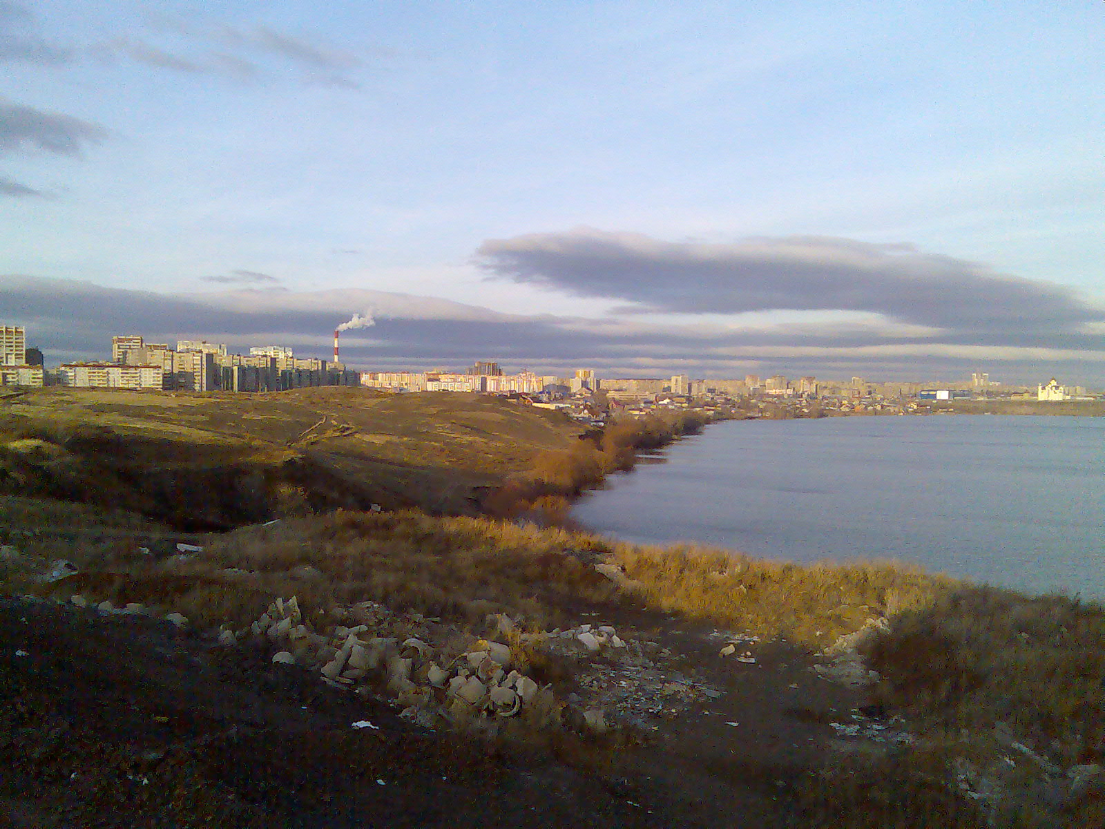
| Description | Вид с Кирпичного мыса |
| Source | Вид с Кирпичного мыса |
| Author | Pesotsky |
| Camera location | | View this and other nearby images on: OpenStreetMap |
|---|
Licensing edit
This file is licensed under the Creative Commons Attribution 3.0 Unported license.
- You are free:
- to share – to copy, distribute and transmit the work
- to remix – to adapt the work
- Under the following conditions:
- attribution – You must give appropriate credit, provide a link to the license, and indicate if changes were made. You may do so in any reasonable manner, but not in any way that suggests the licensor endorses you or your use.
| This image, which was originally posted to Panoramio, was reviewed on 16:52, 6 December 2011 (UTC) by the administrator or trusted user Common Good, who confirmed that it was available on Panoramio under the above license on that date. |
File history
Click on a date/time to view the file as it appeared at that time.
| Date/Time | Thumbnail | Dimensions | User | Comment | |
|---|---|---|---|---|---|
| current | 14:52, 6 December 2011 | | 1,600 × 1,200 (500 KB) | Fgdcvd (talk | contribs) | {{Information |Description=Вид с Кирпичного мыса |Source=[http://www.panoramio.com/photo/20279150 Вид с Кирпичного мыса] |Date= |Author=[http://www.panoramio.com/user/1501776 Pesotsky] |Permission= |other_versions= }} { |
You cannot overwrite this file.
File usage on Commons
The following page uses this file:
File usage on other wikis
The following other wikis use this file:
- Usage on ba.wikipedia.org
- Usage on ceb.wikipedia.org
- Usage on io.wikipedia.org
- Usage on ru.wikipedia.org
- Usage on www.wikidata.org