File:В окрестностях Ольховки - panoramio.jpg
Size of this preview: 800 × 523 pixels. Other resolutions: 320 × 209 pixels | 640 × 418 pixels | 1,080 × 706 pixels.
Original file (1,080 × 706 pixels, file size: 350 KB, MIME type: image/jpeg)
Captions
Captions
Add a one-line explanation of what this file represents
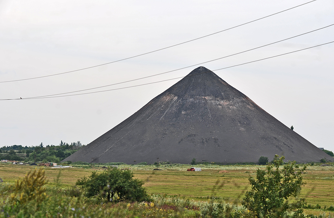
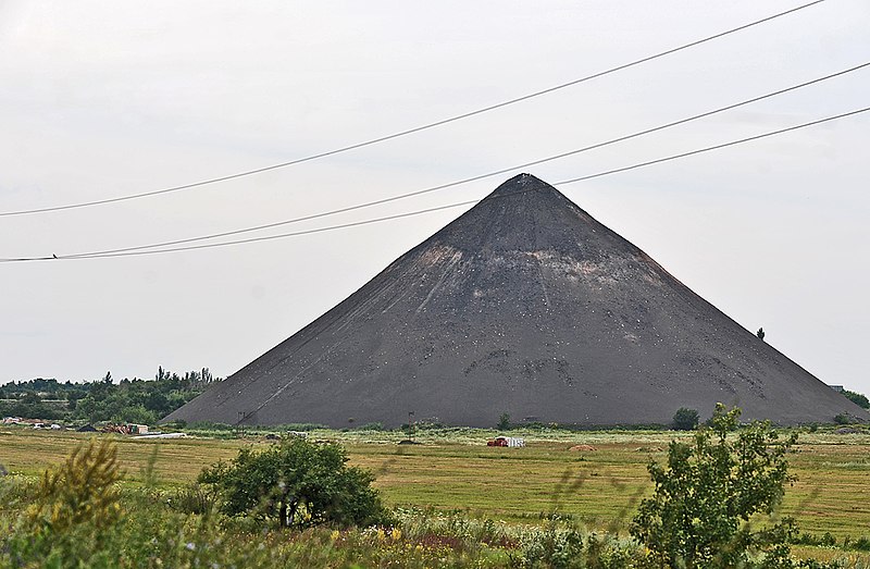
| Description | В окрестностях Ольховки | ||
| Date | 9 September 2010 (original upload date) | ||
| Source | https://web.archive.org/web/20161121160244/http://www.panoramio.com/photo/40548624 | ||
| Author | Валерий Дед | ||
| Permission (Reusing this file) |
This file is licensed under the Creative Commons Attribution 3.0 Unported license. Attribution: Валерий Дед
|
| Camera location | | View this and other nearby images on: OpenStreetMap |
|---|
File history
Click on a date/time to view the file as it appeared at that time.
| Date/Time | Thumbnail | Dimensions | User | Comment | |
|---|---|---|---|---|---|
| current | 04:57, 9 November 2016 | | 1,080 × 706 (350 KB) | Panoramio upload bot (talk | contribs) | {{Information |description=В окрестностях Ольховки |date={{Original upload date|2010-09-09}} |source=http://www.panoramio.com/photo/40548624 |author=[http://www.panoramio.com/user/2333416?with_photo_id=40548624 Валерий Де... |
You cannot overwrite this file.
File usage on Commons
The following 9 pages use this file:
- Category:Births in Horlivka Raion
- Category:Churches in Horlivka Raion
- Category:Cities in Horlivka Raion
- Category:Geography of Horlivka Raion
- Category:Horlivka Raion
- Category:Hromadas in Horlivka Raion
- Category:Maps of Horlivka Raion
- Category:Rural settlements in Horlivka Raion
- Category:Villages in Horlivka Raion
File usage on other wikis
The following other wikis use this file:
- Usage on cs.wikipedia.org
- Usage on en.wiktionary.org
- Usage on fi.wikipedia.org
- Usage on fr.wikipedia.org
- Usage on lmo.wikipedia.org
- Usage on ro.wikipedia.org
- Usage on ru.wikipedia.org
- Usage on uz.wikipedia.org
- Usage on www.wikidata.org